Technical information
Type of route: circular/ Rally/ Starter
Itinerary: Peralta de Alcofea-Torres de Alcanadre
KM: 21,5
Duration: 2 h
Gradient: 193 m
Level:
Points of interest
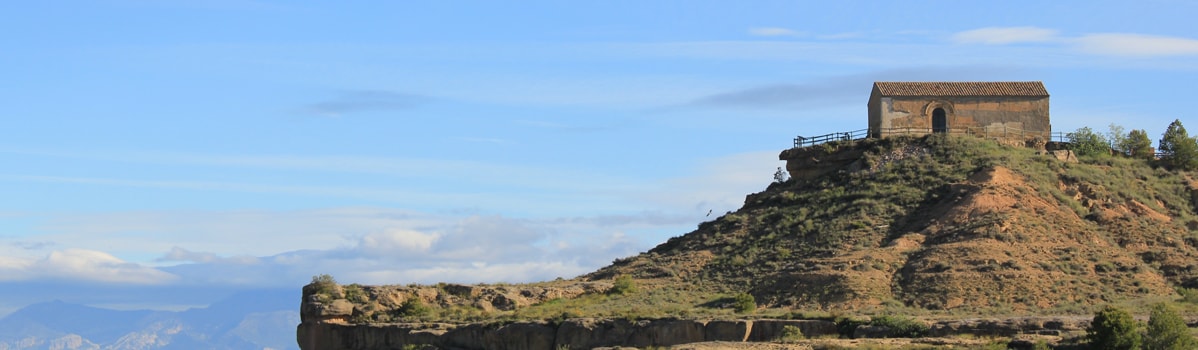
Remains of the Roman dam at Valdera, Cabañera, the Alcanadre river, a birdwatching area, the shrine of San Bartolomé, panoramic views.
Route description
This route winds its way through the isolated low hills in the south of the Somontano, a virtually semi-desert area characterised by largely flat terrain, and what are known as the “planas”: flat-topped, sheer-sided hillocks. These arid lands, traditionally given over to dry farming, have been transformed in recent times with the advent of irrigated crops.
The section between Peralta de Alcofea and Lacuadrada brings to mind the bleating herds and fl ocks of livestock
that used to wend their way up this selfsame path en route to the Pyrenean pastures, where they would spend the summer months before coming back down again to the more sheltered fl atlands when the chills of winter blew in.
Photo gallery


Location map