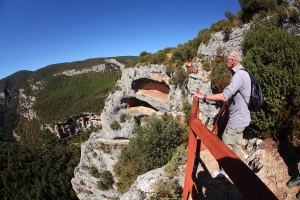
Technical information
Type of route: circular
Departure point: Bierge
KM: 95,6
Duration: 4,5 h
Gradient: 1.350 m
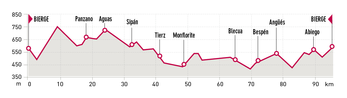
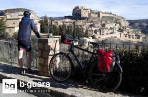
Itinerary
Bierge - Aguas - Huesca - Blecua - Angüés - Bierge
Route description
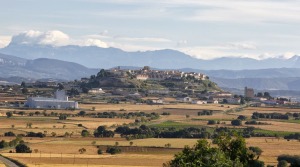
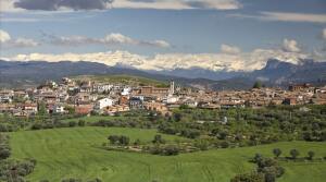
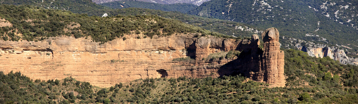
This route runs through the villages in the southern area of the Sierra de Guara Natural Park and part of Somontano and La Hoya de Huesca.
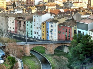
Departing from Bierge, the path climbs, descends and winds, making for an enjoyable road that links several villages in the south of the Sierra de Guara such as Morrano, Yaso, Bastarás, Panzano, Aguas, Sipán and Bandaliés until arriving in the vicinity of Huesca, the capital of the province. From Tierz, the path sets out on its return between cultivated fi elds through various villages of the Hoya de Huesca such as Monfl orite, Alcalá del Obispo, Pueyo de Fañanás, Blecua, Bespén and Angüés. The path then makes its way towards Abiego before ending in Bierge. El Tozal and El Cabezo mountains will be constant reference points throughout the trip.
Photo gallery
Map