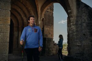
Technical Information
Type of route: circular
Departure point: Colungo
KM: 13,2
Duration: 3 h 45 min
Gradient: 530 m
Difficulty:
Points of interest
Portal de la Cunarda geological formation.
Route description
A classic route that allows you to discover one of the most unique geological formations in the surroundings of the Guara Natural Park, the Portal de la Cunarda, a large geological arch formed by the erosion of an enormous limestone rock.
The route starts from Colungo by the swimming pools to take a stretch of path that goes up to the road from Colungo to Asque. After crossing it, continue along the track, constantly going uphill, until you take a detour to the left that descends first along a track and then a little later along a path to the Portal. This section is more uneven and there are some small steps to negotiate.
The return is along the same path as on the way out until you reach a crossroads, where you can turn left to reach Colungo along an old livestock track that still preserves some cobbled sections. The entrance to the village is through the hermitage of Santa Eulalia.
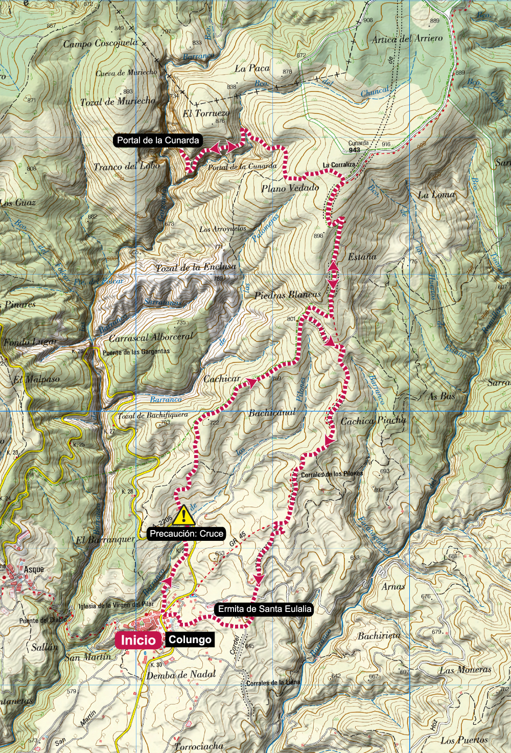
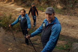
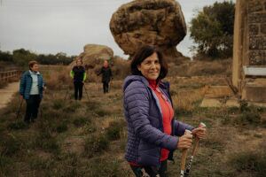
Photo Gallery


Map