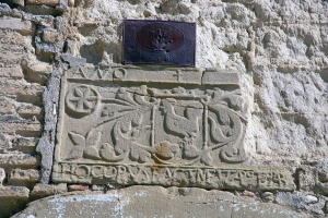
Part of the ancient Roman Road that connected IIerda (Lérida) with Osca (Huesca) can still be seen in the outskirts of Berbegal. It in turn was part of the longer road that joined Tarracone with Asturica and made up part of the great Roman route from Italy to Spain.
These impressive structures, thousand of kilometres long, highlight the will of the Roman administrators to facilitate the delivery of people, goods and merchandise to any part of the Roman Empire.
The Romans brought with them technologies that were previously unknown in the region and left behind a legacy that lasted throughout the centuries that followed. However, with the end of the Roman Empire, people no longer needed to travel 1000 kilometres at an average of 20 km per hours and the roads fell into disuse. The inability of people to maintain the roads and the lack of state administration made it impossible to maintain the road network that had sustained the Roman civilization.
The road that ran between Ilerda-Osca-Caesaraugusta (Lérida-Huesca-Zaragoza) passed through the following villages:
Ilerda (Lérida), Mendiculeia (Monte de las Pueblas, Tamarite de Litera), Tolous (Cerro de la Alegría, Monzón), Caum (near to Ilche), Pertusa (Pertusa), Osca (Huesca), Bourtina (Almudévar), Gallicum (close to San Mateo de Gállego), Caesaraugusta (Zaragoza), Balsiones (Mallén) and Cascantum (Cascante, Navarra).
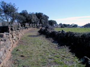
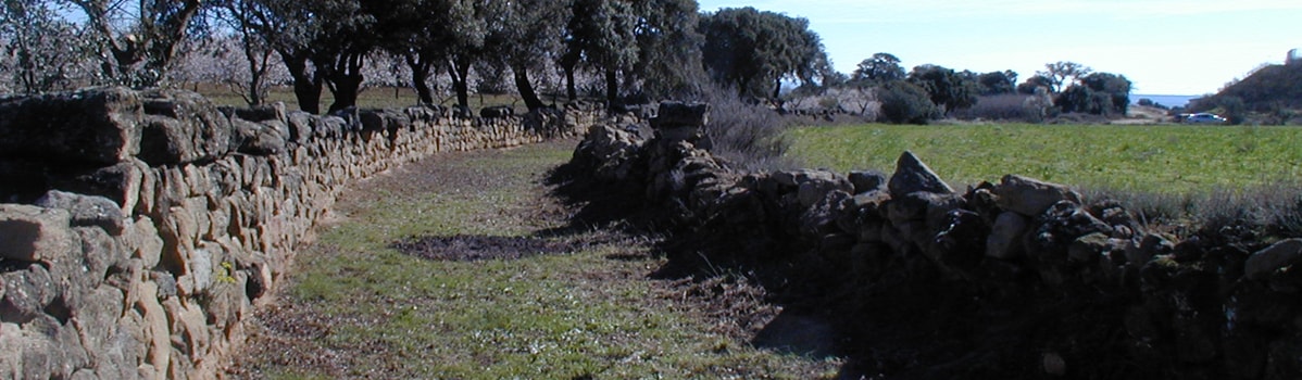
In addition to the main roads described above, there was also a network of secondary routes used by the Roman administration, which permitted the successful organisation and exploitation of the land and its resources.
Finally, in addition to this huge network of roads, there were many smaller routes and footpaths that connected the major routes with the smaller villages and hamlets of the region, which were distributed according to farming and cultivation needs.